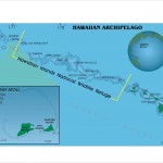
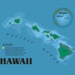
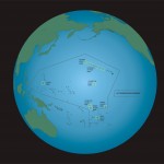
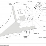
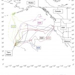
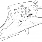
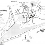
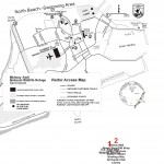
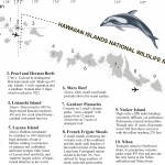
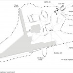
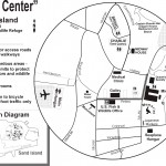
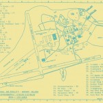
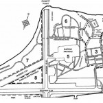
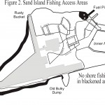
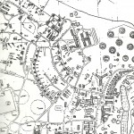
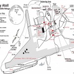
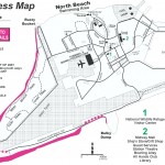
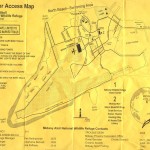
Welcome to a collection of Midway Maps. Here you’ll find on-line maps highlighting the island’s strategic location in the Pacific. Whether you’re interested in military history, planning a virtual visit, or looking up a location from where you once lived or worked, these maps provide a multifaceted perspective of Midway Island.
Link to an online virtual map of Midway
Click here for a Virtual Tour of Midway Island
Link to Papahānaumokuākea Marine National Monument Map
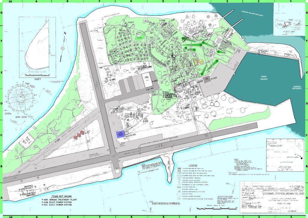
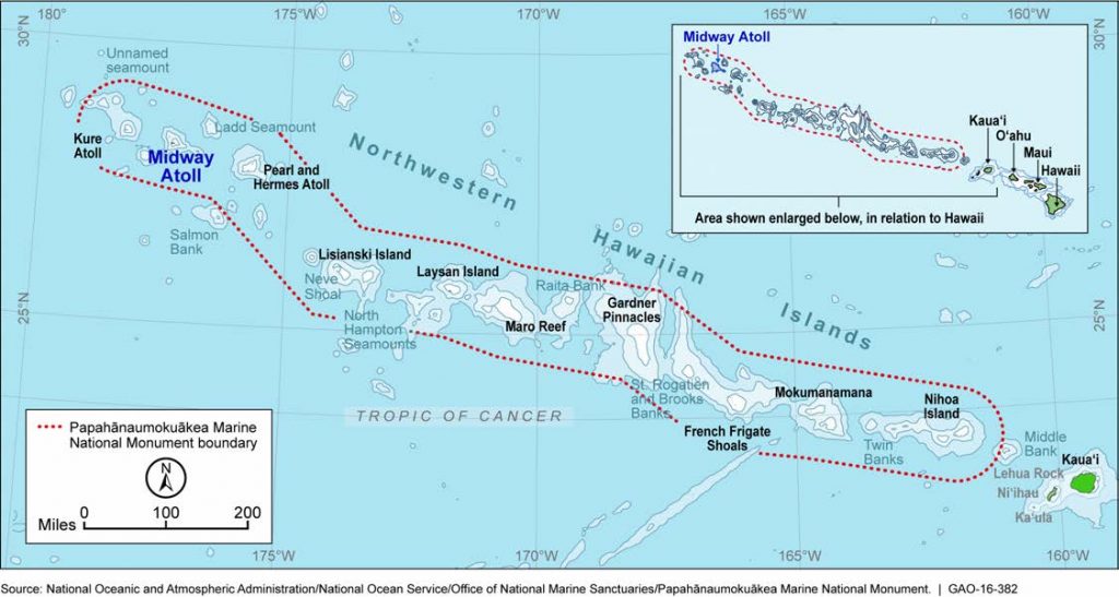
Photo Credit – GAO
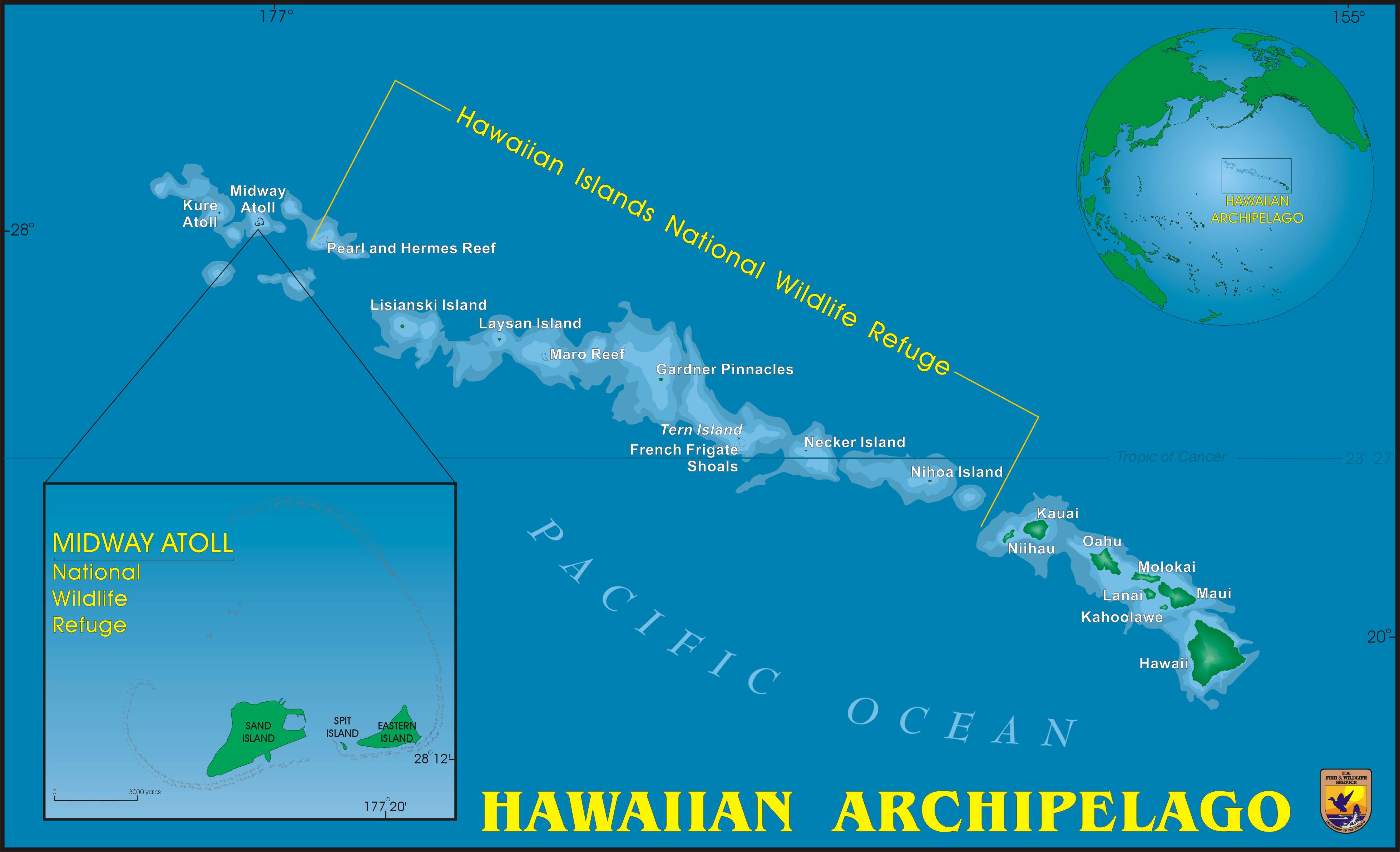
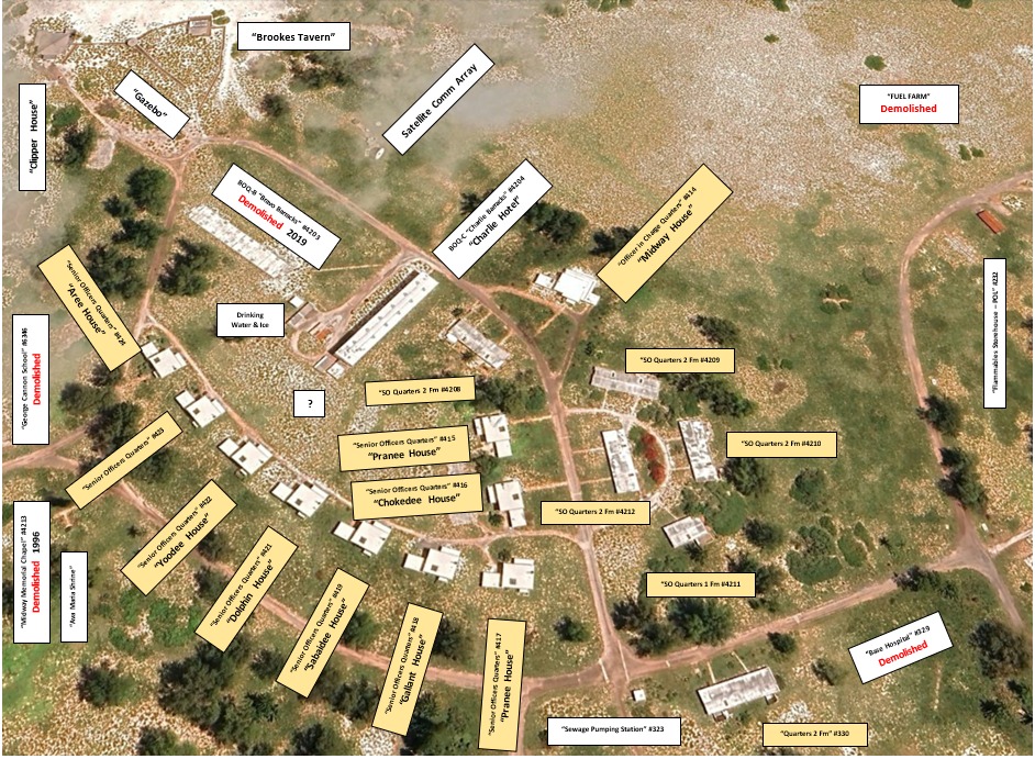
Photo Credit – John Schneiderman
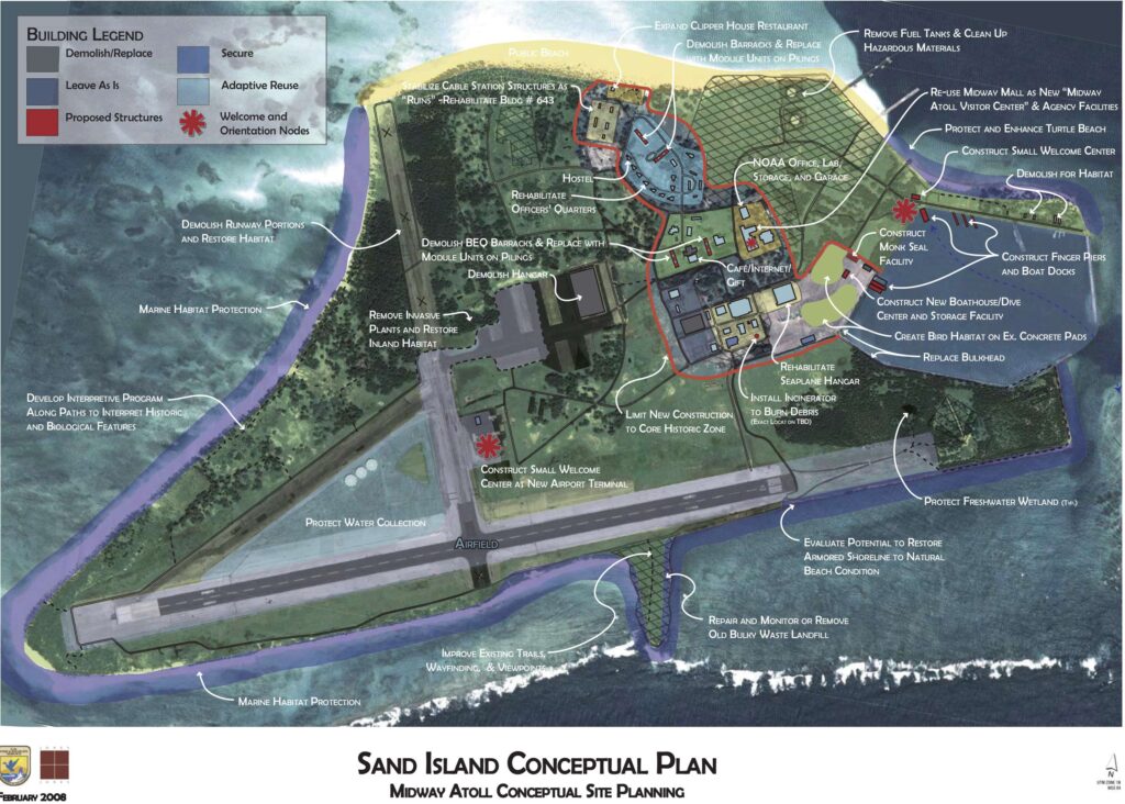
Photo Credit – USFWS
The USS Turner Joy (DD951) refueled en route to Vietnam on late December 1972. As Communications Officer my Sea & Anchor duty station was on the bridge. There was a very strong current crossing the approach, causing increased speed to make it into the harbor. Saw the goonie birds waddling about, but not many structures. cold & windy